
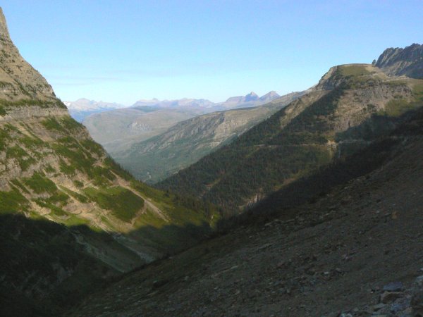
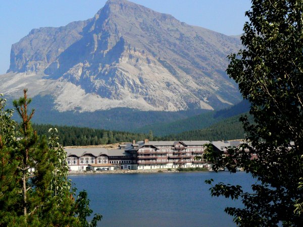
Without a doubt, the best known and most spectacular feature of the park is the "Going to the Sun Highway." As wonderful as that stretch of road is, there is much more in this part to see and one should plan to spend at least a couple of days if you visit. Since we entered the park from the west side and stayed in the town of Hungry Horse, I'll start this page there as well. We entered the park from West Glacier, via the Apgar Visitor center.

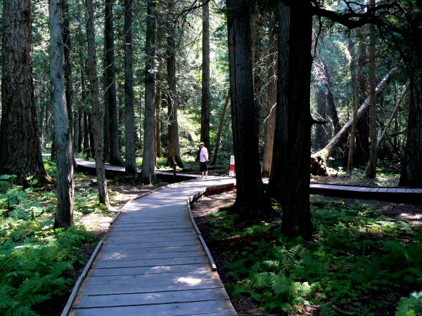
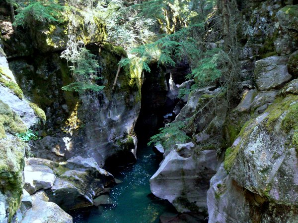
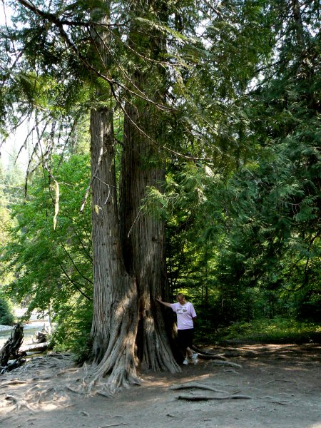
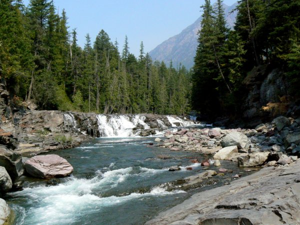
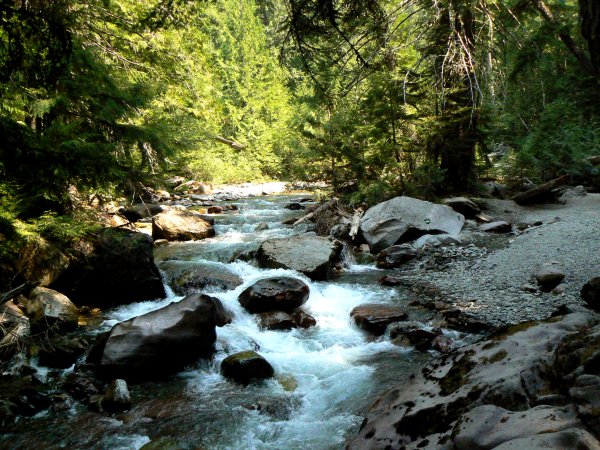
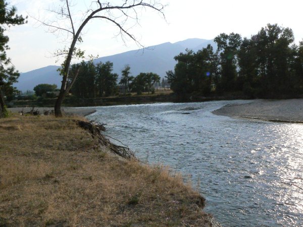
We began our visit with a short hike of about two miles to see the cedar and hemlock forest and the water features of Sprague Creek. The trail is well maintained with boardwalks or stairs in most difficult places. The part that goes up to the falls is quite steep and a bit of a challenge but Pam made in despite her asthma and we saw many young children on that section so I strongly encourage you to take the time to see it.
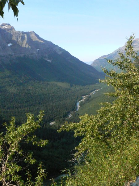
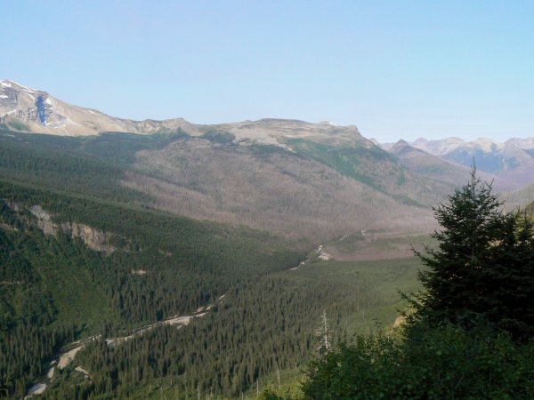
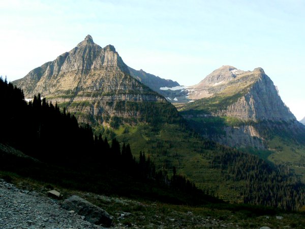
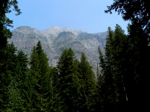
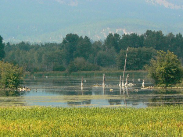
All of the park is a series of mountain scenes that are enough to take one's breath away. The mountains here are some of the most difficult in the US and a great deal of this park requires serious hiking to see it. There are also several overnight hikes and at least two of those have lodge accommodations. We have given up the serious backpacking way of travel so we contented ourselves with the shorter hikes of one of two miles distance, each way. Even short walks will greatly expand the Glacier Park experience.


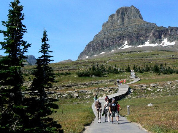
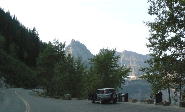
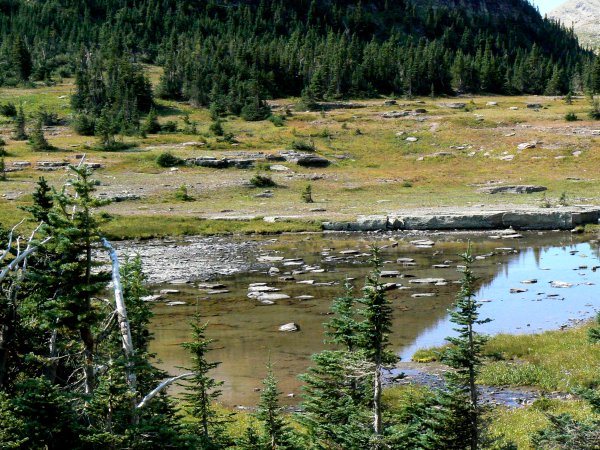
The "Going to the Sun" part is the west slope from Logan Pass and it is as exciting as the stories say. In addition, there is construction in progress to rebuild sections of the road which are beginning to slide down the cliffs so a long stretch is one lane with use of a pilot car and there are places that the larger vehicles are still a pretty tight fit. Travel is restricted to vehicles of 24' long and no more than 96" wide. There are signs that read "No Bicycles" but we saw several that were riding over. There is also a free tram system that will take visitors through the park. At Logan Pass there are numerous walking and hiking trails of different degrees of length and difficulty. I strongly encourage any reader to take the time to do at least some walking around as this can be the very best part of the park. Since you are above timberline, it is mostly a tundra environment.

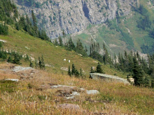
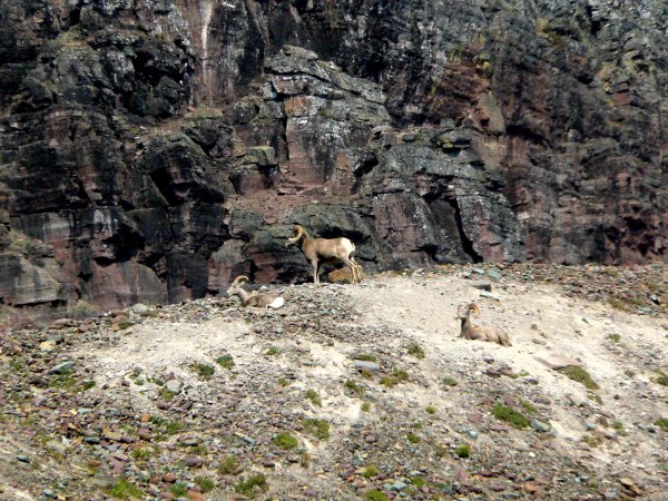
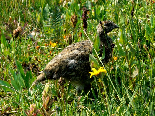
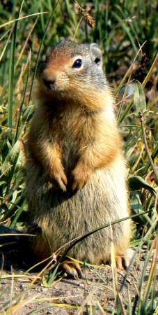
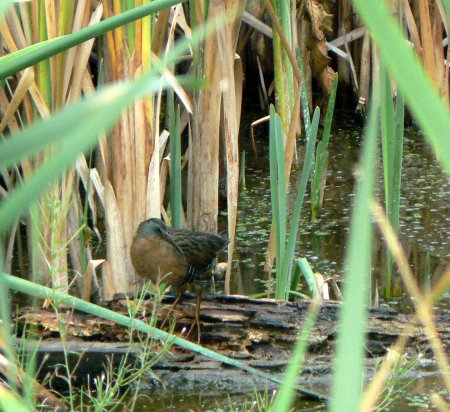
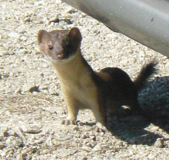
By walking the trails one can get surprisingly close to much of the wildlife. In fact, for animals that are not fed by the visitors, we found it amazing how little attention some of them pay to people, as long as no-one tries to touch them.
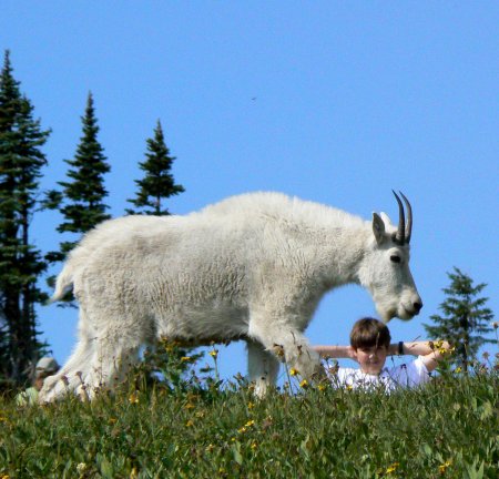
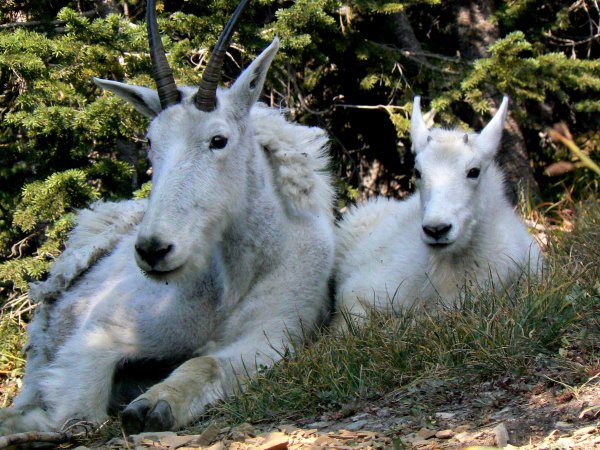
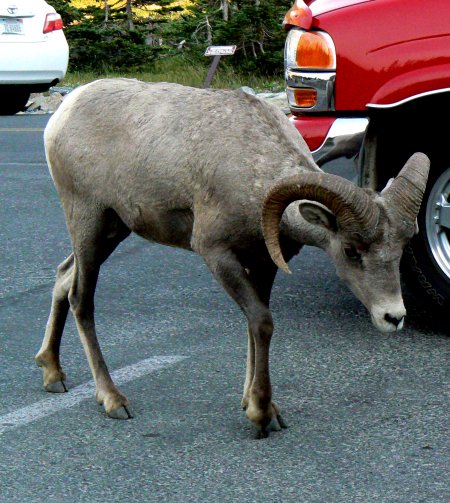
We have visited many parks and this is the first where we have been close to mountain goats and bighorn sheep. What a wonderful experience!

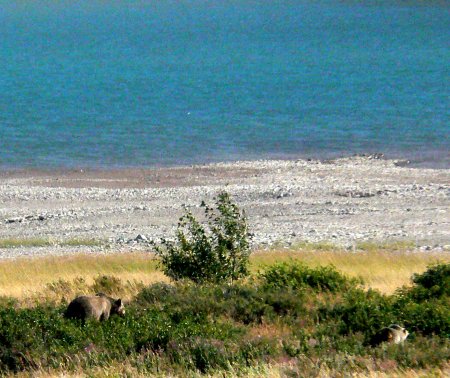
One can easily spend another day in taking a side trip north to Waterton Lakes Canadian National Park, which shares a common boundary with Glacier Park. While not as large as Glacier, it is also very scenic and quite different than US parks. On the rout back to Glacier we visited the "Manny Glaciers" area where I was fortunate to get a photograph of a grizzly bear and her cub. They were quite distant but seemed unaware of the people watching and taking pictures.
If you pass through the area of Glacier National Park and do not stop for at least a couple of days you will be making a big mistake!

Stevensville, MT.
July & August, 2007
On July 8, 2007 we finally arrived at our summer home! We spent some extra time in Texas both for some health issues and also to be there to see our son arrive back at Ft. Hood after spending a year supporting the Iraqi Army. That was a great day and well worth the delay, but we were so happy to arrive here and the feeling of coming home again. This being our sixth wildlife refuge it has come to a point where we really feel at home on them, and we have never really cared for living in RV parks.
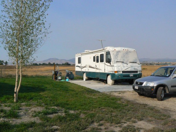

Our main job here was to operate the visitor center on Saturday and Sunday but we also helped out with some other projects around the refuge as well. Our site had full hook-ups and 50A power and laundry was just across the street. This is one of the smaller refuges at about 2800 acres. It is mostly for migratory birds but it also is home to large numbers of deer, a few bears and winter has both elk and moose.
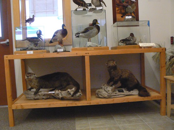
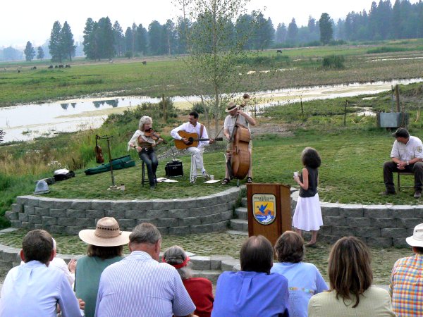

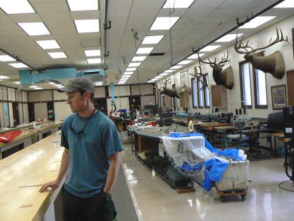
In addition to our work in the visitor center, we assisted the staff with an evening program, some interpretive programs and occasional maintenance tasks. Since my hobby is carpentry, I also built several display stands for the visitor center. I generally worked on those projects on days when I was looking for things to keep busy. Like most refuges this one has a pretty complete woodshop and I was quite at home there.
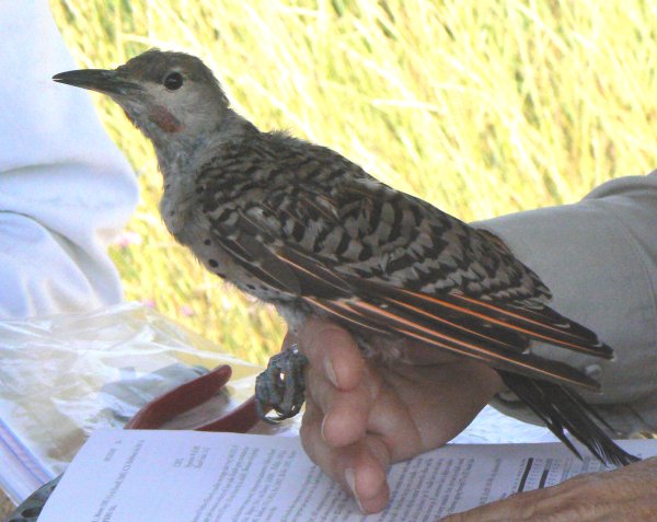
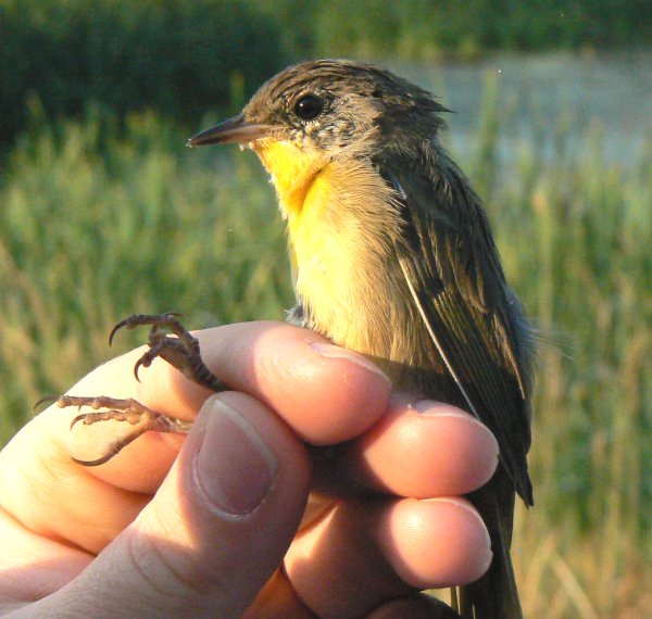
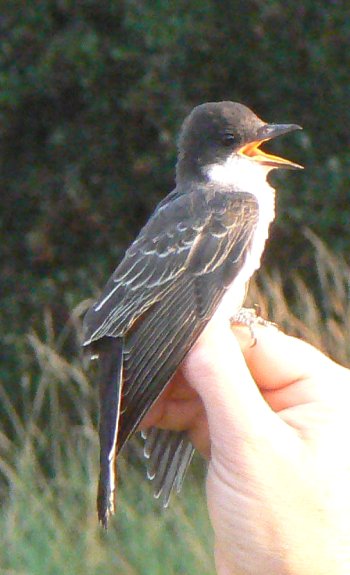
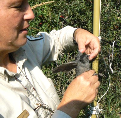
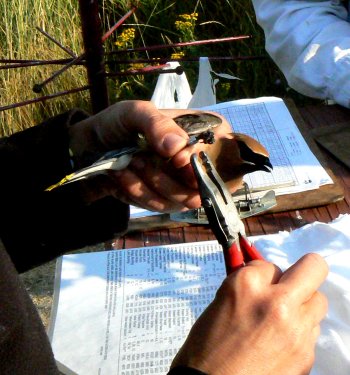
One of our most unique experiences here was to be involved in songbird banding. Such operations require the presence of a licensed person since capture of songbirds is not legal unless supervised by a licensed person. Bird banding is a major program here which is done each Thursday all summer. Nets are set in the same location each time and year after year so that data about nesting birds is consistent.
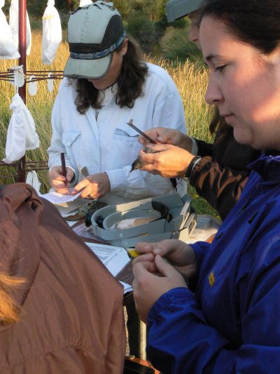
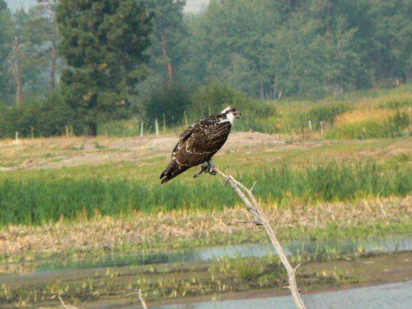
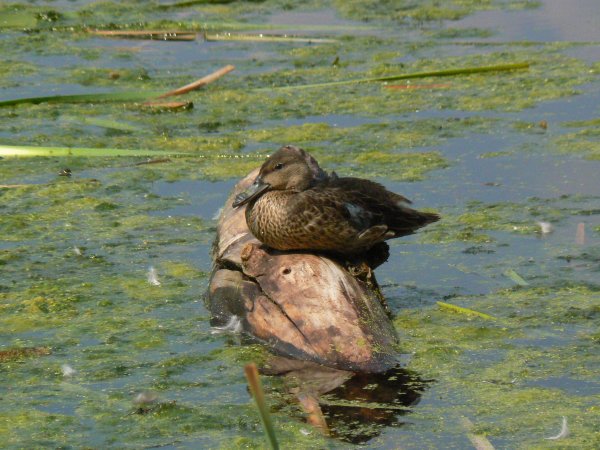
The refuge is the summer home to many different birds as well as a key part of the migration route for many water birds, raptors and songbirds.
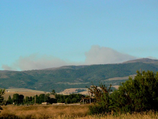


One of the less than pleasant factors in our stay here was the fact that there were nine major forest fires within 100 miles of our location. Most times we would have smoke clearly visible and on worst days it would smell of smoke and the mountains were not visible, though they were only five miles distant to the west and about ten miles to our east. This was the worst fire year for Montana in a very long time. We were really tickled when we discovered that we had been named "Volunteers of the Month" as this refuge has a large number of very active volunteers.
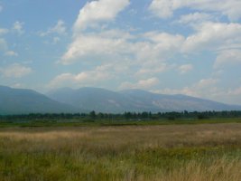
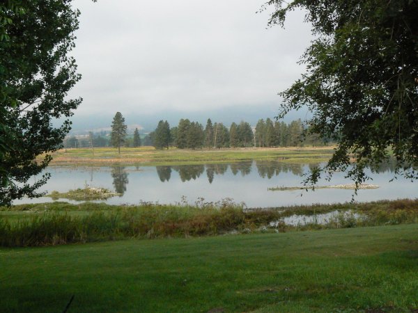
Lee Metcalf NWR is a place of beauty and solitude and a wonderful place to spend a summer!
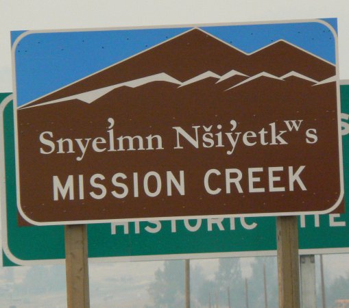
In our two month stay at Lee Metcalf NWR we tried to see all of the important sights in that area. We began by visiting the nearest town, Stevensville, which was the first permanent European settlement in what is today Montana.

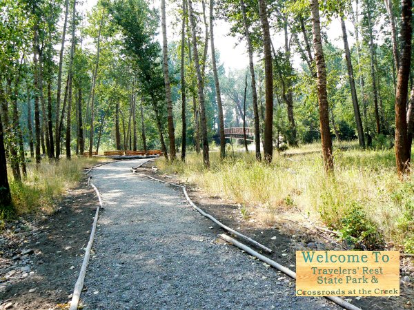

Stevensville, locally called Stevi, is a friendly and historic town but very small. Just fifteen miles to our north was the town of Lolo which is the location of "Traveler's Rest," so named by Lewis & Clark when they camped there to rest before their crossing of the Bitterroot Mountains as they went west and again upon their return in the spring. The park is not well developed but it is the only campground of that expedition which has been archeologically proven to be in the exact spot where the party camped. As you go west on US12 you climb to the top of Lolo Pass and just over the top it this sign about 77 miles of winding road.
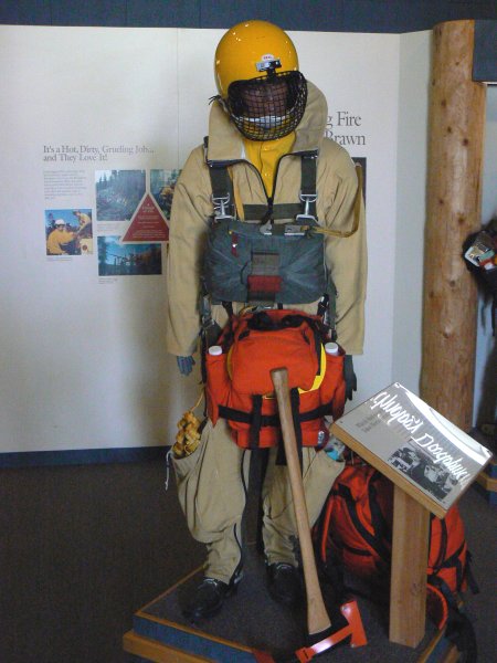
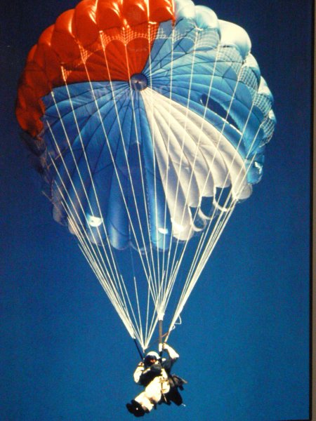
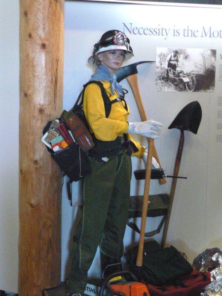
Missoula is home to one of the largest smoke jumper bases in the US as well as one of five training schools for this work. If you stop in that area a visit to the school for a tour will be time well spent. The tour is lead by one of the jumpers from the ready room as there is at least one crew ready to leave within ten minutes notice at all times during fire season.
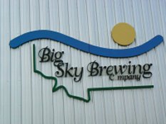
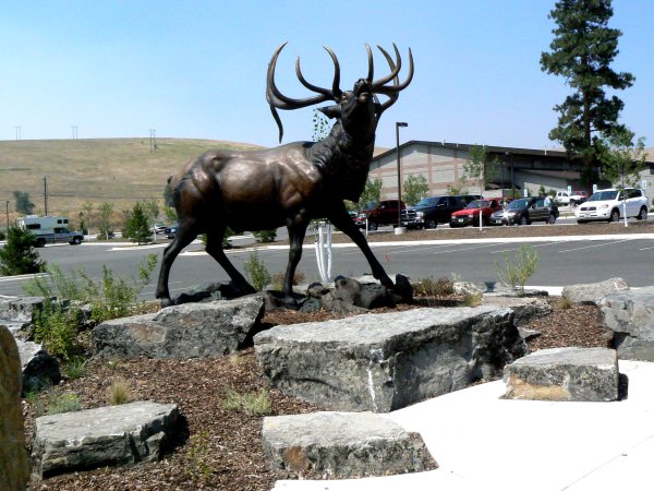
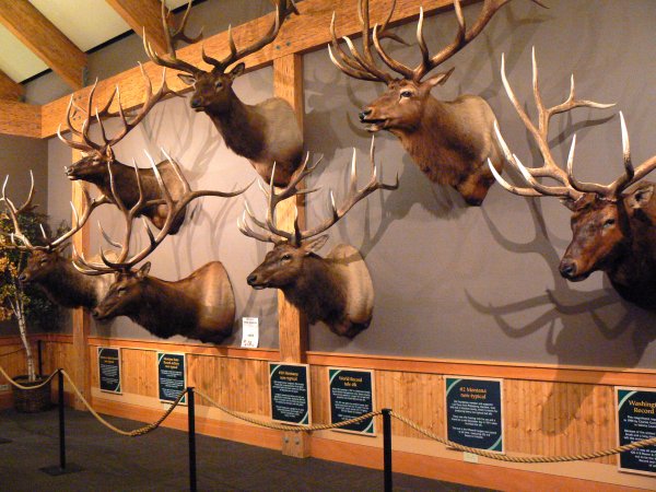
Missoula is also home to two outstanding breweries and our favorite product was "Moose Drool," an excellent German dark brew. Both breweries have free tasting rooms with generous samples and other things of interest. On the north side of Missoula is the Rocky Mountain Elk Foundation. This non-profit, private organization has done much to keep the elk at healthy populations and their visitor center is outstanding.
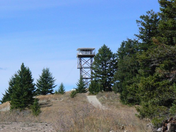
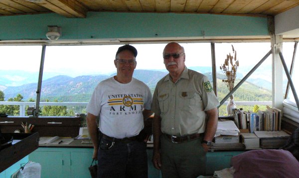

At Blue Mountain Recreation Area, just to the west of Missoula, there is a gravel road which leads nine miles up the mountain to an active fire lookout tower. The lookout has manned this same tower each summer for the past 33 years. He welcomes visitors and it is an experience not to be missed. The entire drive is scenic and the road is passable for any vehicle, although a little steep in places.
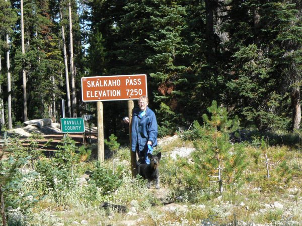

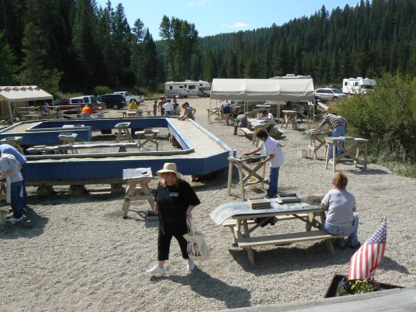
One of the most unique trips we made while here was a loop that meant going up and over Skilkaho Pass via a road that has about 20 miles of gravel and which is not open in winter. It is a very well traveled road because it cuts off about 50 miles on a trip from Butte to the Bitterroot Valley. There are parts of the road that are narrow and require use of a turn-out to meet traffic on the top four miles of the road but the trip is a wonderful experience! On the east side of the pass there is a sapphire mine where for a fee visitors can search for their own stones.
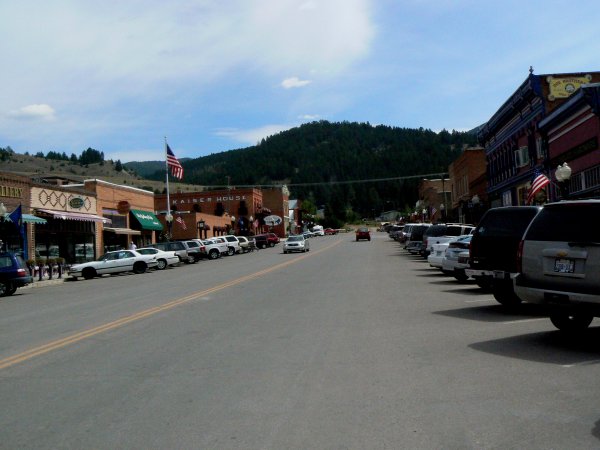
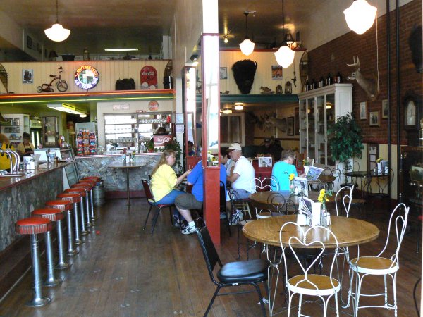
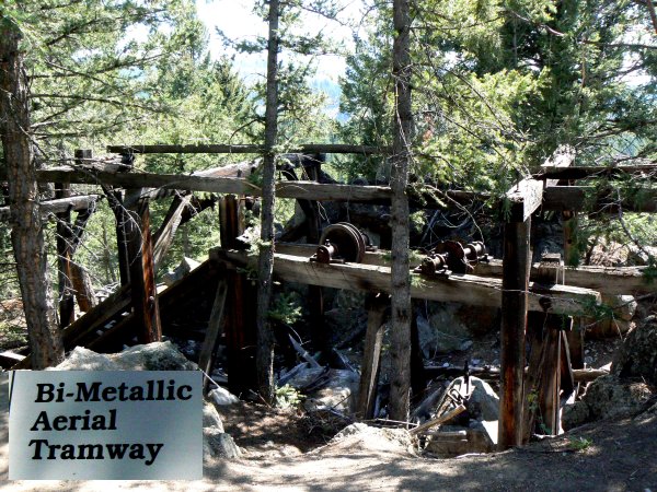
Our next stop was Phillipsburg, an old mining town which today serves the local ranch community and the tourists that manage to get that far off the beaten path. It is a great town with many historic buildings and a really great restaurant! We then took a quick trip to the ghost town of Kirkville.
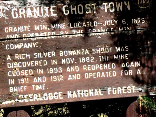


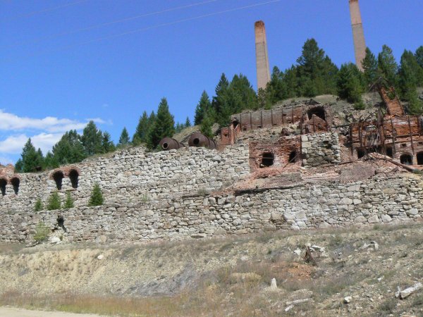
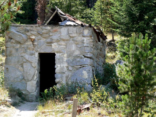
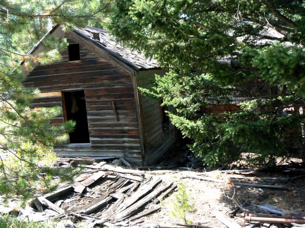
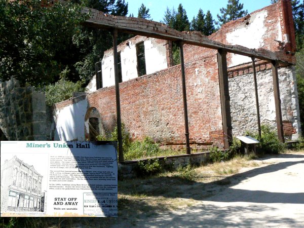
The trip up to Granite is by 4WD road but the road is passable with 2WD if you have fairly good clearance and the road is dry. The town was quite large and many building still exist. To really explore the town could easily take several hours. You can almost feel the presence of past residents.
We saw many other interesting sites while in Montana, but this page should give visitors some feel for where we visited.