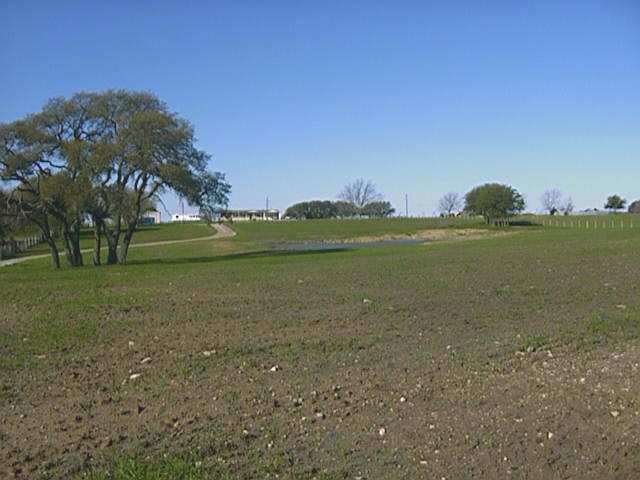
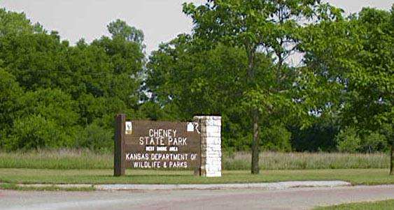
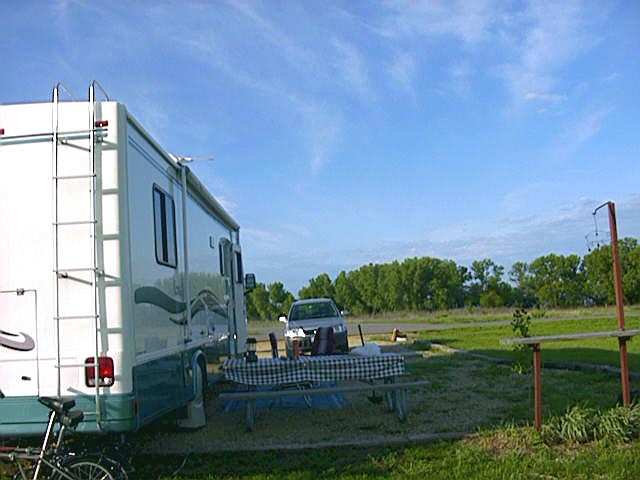
After having taken only 26 days to travel 1200 miles from central California to north Texas, we found ourselves once again back with our friends where se began our travels as fulltime RVers. We stayed here for two months getting the usual medical and dental checks. We then traveled up I-25 through Oklahoma to Wichita, Ks. and then west to Cheney State Park. There we spent the summer as Campground Hosts for the M&M Point campground.
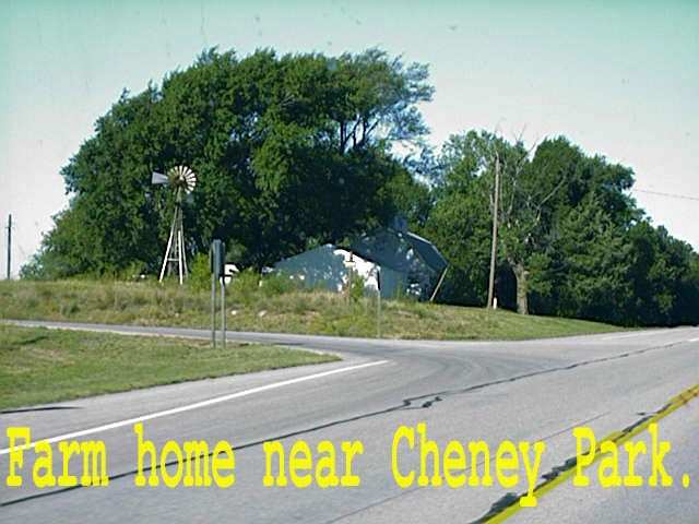
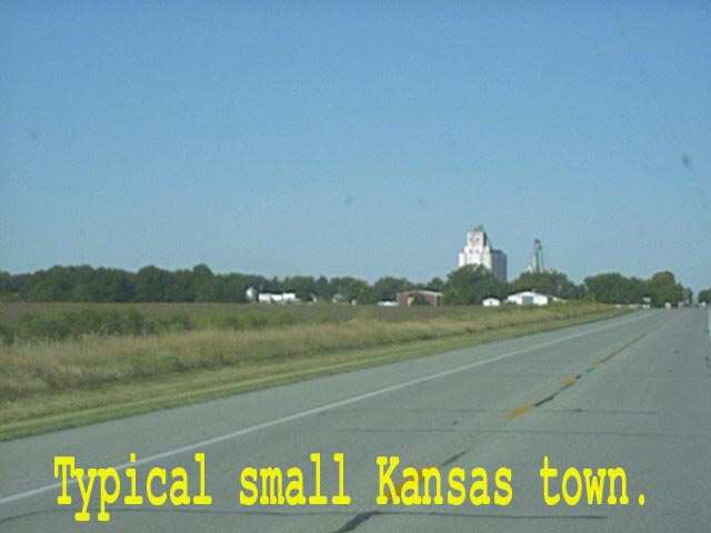
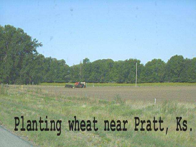
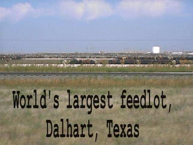
After Labor Day was over our commitment to the park was complete so once again we set out down the highway. We headed west on US54 to our first stop in Dalhart, TX.
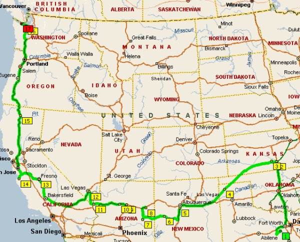
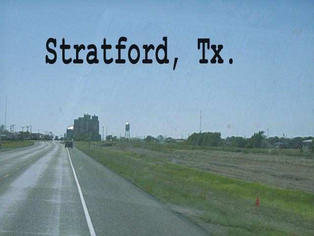
We arrived in Dalhart on the evening of September 10. No one needs be reminded of what we watched on TV the following morning. But life must go on and so did we. As we headed out of town, we passed the world's biggest cattle feedlot there, and then across the Oklahoma and Texas panhandles.
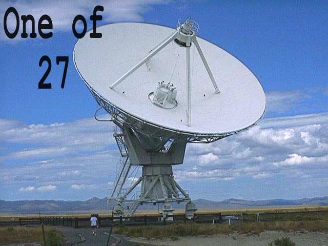
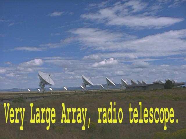
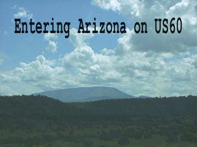
We traveled to Albuquerque on September 11. On the following day we traveled south on I-25 to Socorro where we changed to US60 to travel west visiting a large radio telescope. US60 is an excellent highway though only two lanes.
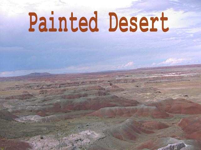
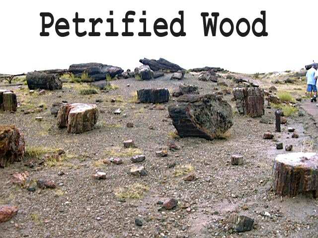
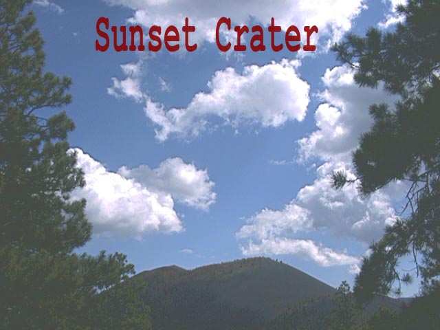
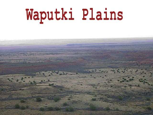
We then traveled into Show Low, Az. to spend the night. From there we went to visit the Petrified Forest Natl. Park.
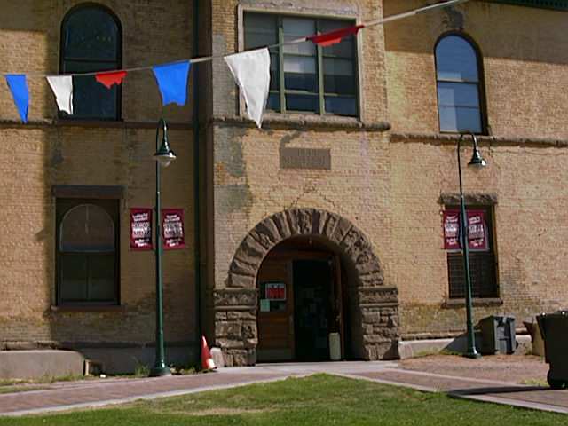
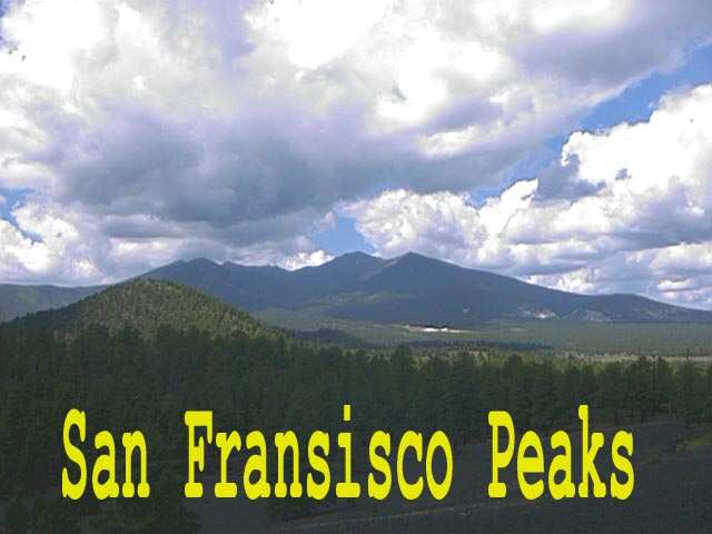
We spent the day visiting the Natl. Park and then traveled into Holbrook, AZ. for the night. After visiting the Navajo Co. museum. We traveled west to Flagstaff.
We spent several days in Flagstaff traveling on different highways out of the city to see the area. We especially enjoyed the ancient Indian ruins.
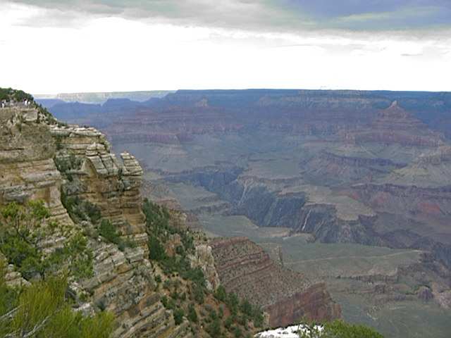
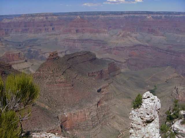
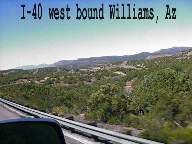
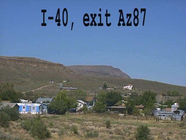
Next we traveled from Flagstaff to Williams, AZ. to visit the Grand Canyon Natl. Park. While there is really nothing that can be seen of the Grand Canyon from the highway, I can not resist putting in a few pictures from there. The others will go into a separate page.
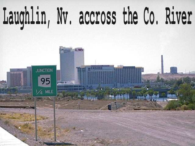
From Williams we traveled west to Kingman, then via Az68 to Laughlin, NV, and then on US95 to Las Vegas.
We spent four days in Las Vegas, picked up mail and visited friends, then continued on west for California. There is a separate page on Las Vegas if you are interested. We traveled west on I-15 to Barstow, where we spent two nights and made a quick side trip.
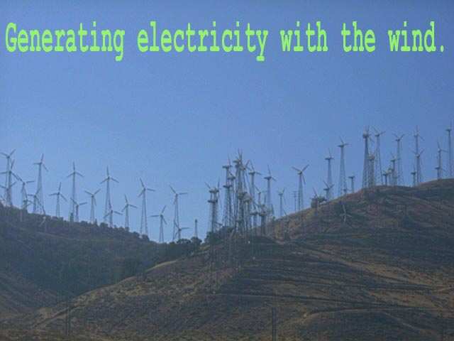
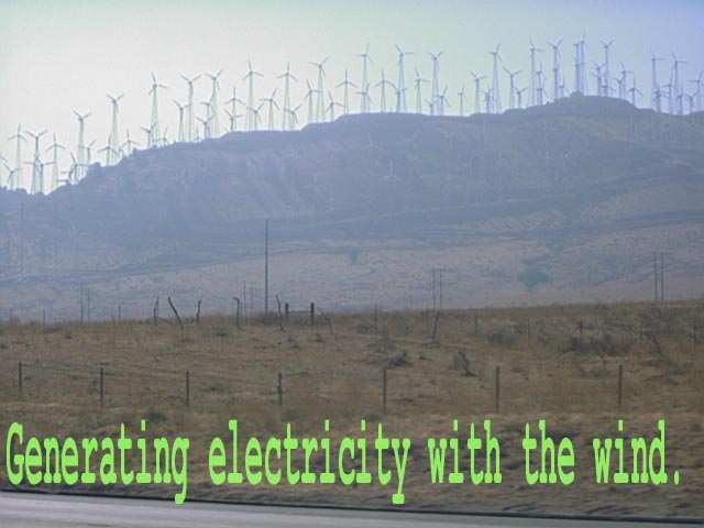
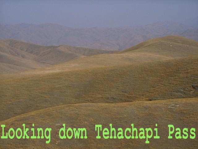
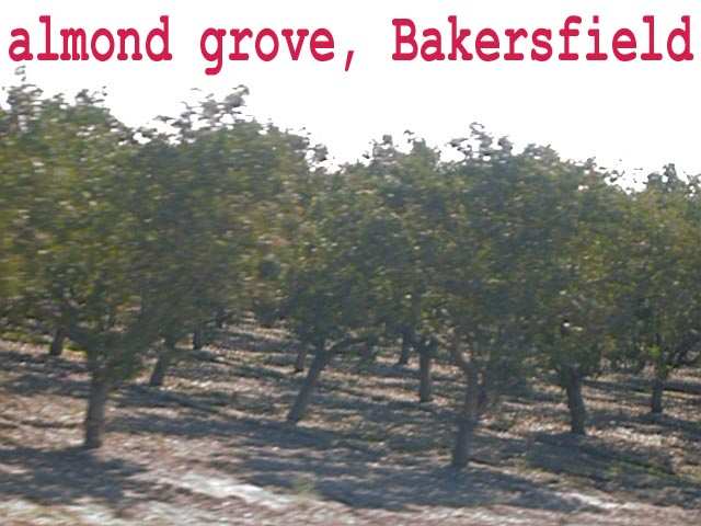
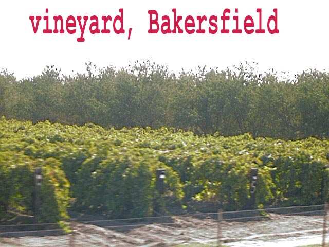
At Barstow we took Ca-58 to Bakersfield, where we headed north on Ca-99. Tehachapi Pass has the largest wind farm in the world.
From Bakersfield we traveled north to Ca-152 and then west to Salinas to spend the winter at Toro Park.
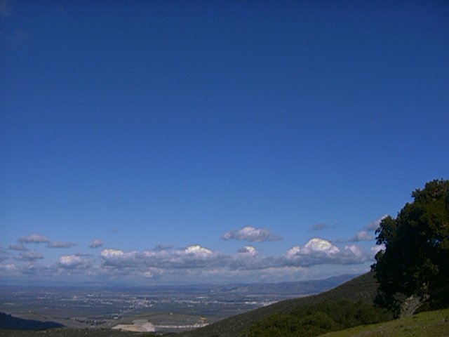
While at Toro Park we took many side trips to see the things that we liked best from our first winter here as well as seeing our kids and grandkids.
As February came to a close and we were about to head back to Texas, we received a phone call from our son in Washington telling us that his wife had been hit by a car while performing first aid at the scene of an accident. So we headed north toward Washington, postponing our return to Texas. To save time we traveled north on I-5 through California, Oregon and Washington.
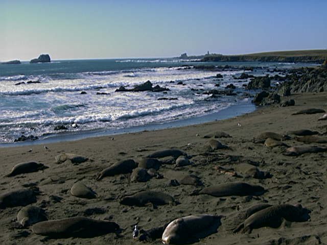
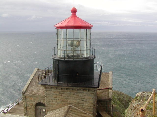
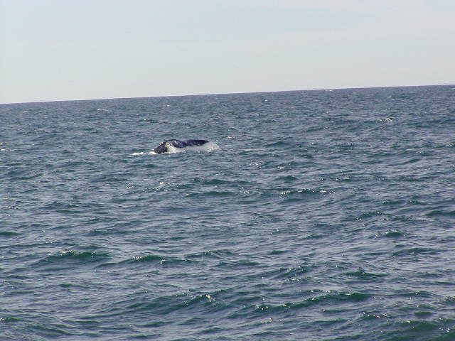
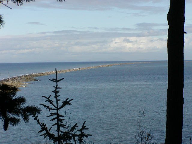
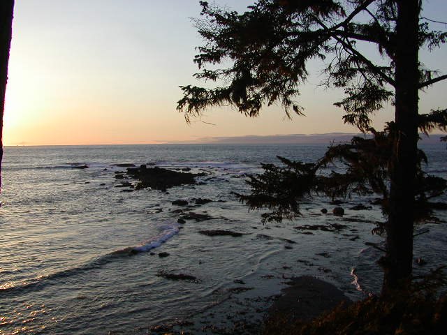
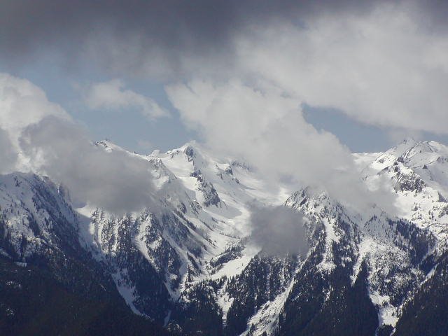
We arrived in Sequim, WA. on March first and after spending several days parked in the street near our son's home, we arranged to move to Salt Creek Park as campground hosts, two months earlier than we had been scheduled. Salt Creek park is a wonderful place and it is run by an outstanding ranger. In our four months at Salt Creek Park, we spent a lot of time with our grandchildren and kids, and we also managed to do more site seeing as well.
Thus ended our second full year on the road. We came to love Salt Creek Park and out daughter-in-law has mostly recovered from her injuries. While our family did have a major disaster, all in all we did have a pretty good year.